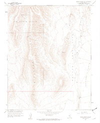
1961 Map of Topopah Spring SW
USGS Topo · Published 1975About this map
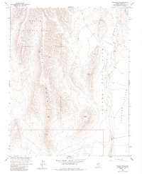
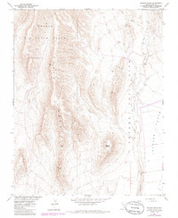
Yucca Mountain dominates the western landscape of this mid-century survey, a period when this high-desert terrain was utilized for military and scientific research. The map illustrates a pivotal era in the region's geography, showing the intersection of the Nellis Air Force Range and the Nevada Test Site. These restricted zones signify a transition in land use from open territory to specialized government facilities during the Cold War. In the eastern portion of the sheet, Jackass Flats provides a contrast to the high ridges, marked by a sparse network of jeep trails and survey markers. The drainage of Fortymile Wash snakes through the canyon, anchored by Well J-12, highlighting the critical and limited presence of water resources in this arid environment. Strategic triangulation stations like Vabm Mile 4951 and Vabm Alice 4047 offer precise elevations across the basin and range topography.
Find a feature on this map
14 named features on this map. Tap any name to fly to it.
Don’t see what you’re looking for? This feature index may not catch every label — zoom into the map to look around manually.
Map Details
Editions of this 1961 Topopah Spring SW Map
6 editions found
Other maps of this area

1908 · Furnace Creek
USGS Topo · 1:250,000

1910 · Furnace Creek
USGS Topo · 1:250,000

1942 · Skull Mountain
USGS Topo · 1:125,000

1942 · Bullfrog
USGS Topo · 1:125,000

1948 · Death Valley
USGS Topo · 1:250,000

1952 · Topopah Spring
USGS Topo · 1:62,500

1952 · Big Dune
USGS Topo · 1:62,500

1954 · Bare Mtn
USGS Topo · 1:62,500

1954 · Death Valley
USGS Topo · 1:250,000

1956 · Death Valley
USGS Topo · 1:250,000