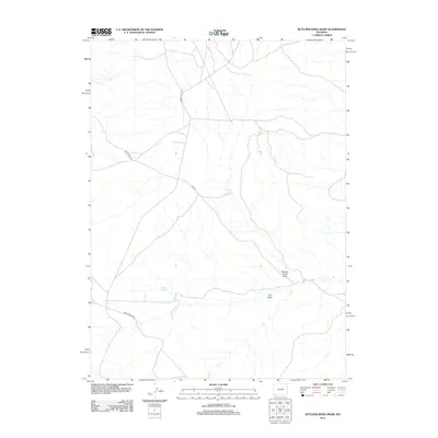
2012 Map of Butcher Knife Draw
USGS Topo · Published 2012About this map
Butcher Knife Spring and Shurtliff Spring provide vital water points in this arid pocket of Sweetwater County, where the high desert landscape is defined by drainage patterns like Butcher Knife Draw. The map reveals a sparse network of essential backcountry routes including Church Butte Rd and Mud Spring Rd, which provide access through the open range. These roads often parallel or cross seasonal watercourses such as Dry Wash and Dry Cr, reflecting a landscape where movement and survival are dictated by the intermittent flow of water and the orientation of the terrain. The presence of named springs and hollows suggests the historical importance of this area for livestock ranching and travelers navigating the vast plains of southwestern Wyoming.
Find a feature on this map
10 named features on this map. Tap any name to fly to it.
Don’t see what you’re looking for? This feature index may not catch every label — zoom into the map to look around manually.
Map Details
Editions of this 2012 Butcher Knife Draw Map
This is the sole edition of this map. No revisions or reprints were ever made.
Other maps of this area

1954 · Ogden
USGS Topo · 1:250,000

1954 · Rock Springs
USGS Topo · 1:250,000

1958 · Ogden
USGS Topo · 1:250,000

1958 · Rock Springs
USGS Topo · 1:250,000

1960 · Ogden
USGS Topo · 1:250,000

1962 · Rock Springs
USGS Topo · 1:250,000

1964 · Butcher Knife Draw
USGS Topo · 1:24,000

1964 · Soap Holes Reservoir
USGS Topo · 1:24,000

1964 · Reed Reservoir
USGS Topo · 1:24,000

1964 · Antelope Knoll
USGS Topo · 1:24,000