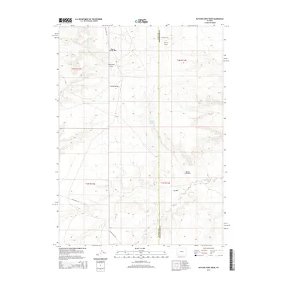
2015 Map of Butcher Knife Draw
USGS Topo · Published 2015About this map
Butcher Knife Draw and the surrounding high desert of the Green River Basin define this remote stretch of the Wyoming landscape. This terrain is characterized by a network of drainage features and seasonal water sources, which were historically vital for livestock and early travel in this arid region. The map reveals the intersection of the Uinta Co and Sweetwater Co line, crossing through varied topographic depressions like Chicken Draw, Tin Can Draw, and Mud Spring Hollow. Named water points such as Butcher Knife Spring and Shurtliff Spring offer localized points of interest for those studying the hydrology and land use of the area. Modern access is represented by gravel routes like Church Butte Rd and Hank Hollow Rd, which traverse the high-elevation flats and grassy basins.
Find a feature on this map
18 named features on this map. Tap any name to fly to it.
Don’t see what you’re looking for? This feature index may not catch every label — zoom into the map to look around manually.
Map Details
Editions of this 2015 Butcher Knife Draw Map
This is the sole edition of this map. No revisions or reprints were ever made.
Other maps of this area

1954 · Ogden
USGS Topo · 1:250,000

1954 · Rock Springs
USGS Topo · 1:250,000

1958 · Ogden
USGS Topo · 1:250,000

1958 · Rock Springs
USGS Topo · 1:250,000

1960 · Ogden
USGS Topo · 1:250,000

1962 · Rock Springs
USGS Topo · 1:250,000

1964 · Butcher Knife Draw
USGS Topo · 1:24,000

1964 · Soap Holes Reservoir
USGS Topo · 1:24,000

1964 · Reed Reservoir
USGS Topo · 1:24,000

1964 · Antelope Knoll
USGS Topo · 1:24,000