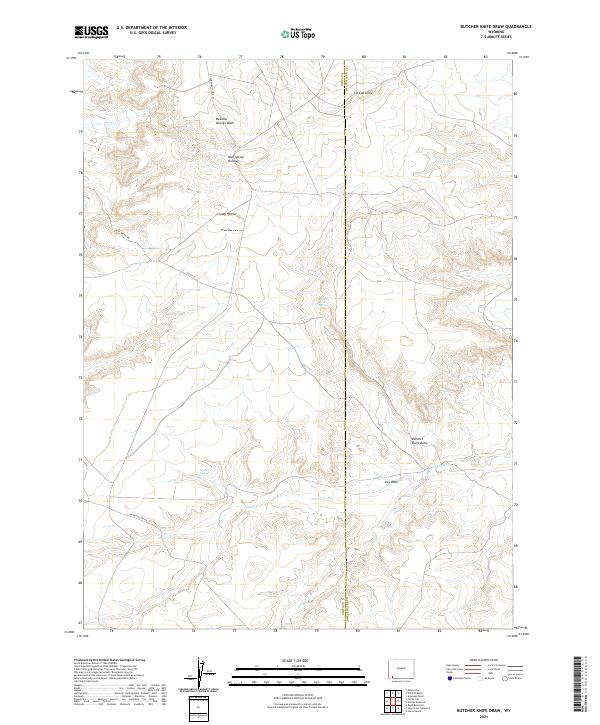
2021 Map of Butcher Knife Draw
USGS Topo · Published 2021About this map
Butcher Knife Spring and the drainage of Butcher Knife Draw define this high-desert landscape along the border of Uinta and Sweetwater Counties. The terrain is a network of arid corridors and ephemeral water sources, where names like Mud Spring Hollow and Grassy Hollow suggest the historical importance of reliable water for livestock and early travelers. Local roads such as Church Butte Rd and Mud Spring Rd follow the natural contours of the land, connecting these remote points of interest. Notable hydrological features like Shurtliff Spring and Tin Can Draw provide insight into the seasonal water patterns of the region, while Big Dry Cr and Meadow Springs Wash illustrate the complex drainage system of this part of Wyoming. The map records a sparsely populated but geographically distinct area where early ranching or exploration routes likely intersected with these essential springs.
Find a feature on this map
19 named features on this map. Tap any name to fly to it.
Don’t see what you’re looking for? This feature index may not catch every label — zoom into the map to look around manually.
Map Details
Editions of this 2021 Butcher Knife Draw Map
This is the sole edition of this map. No revisions or reprints were ever made.
Other maps of this area

1954 · Ogden
USGS Topo · 1:250,000

1954 · Rock Springs
USGS Topo · 1:250,000

1958 · Ogden
USGS Topo · 1:250,000

1958 · Rock Springs
USGS Topo · 1:250,000

1960 · Ogden
USGS Topo · 1:250,000

1962 · Rock Springs
USGS Topo · 1:250,000

1964 · Butcher Knife Draw
USGS Topo · 1:24,000

1964 · Soap Holes Reservoir
USGS Topo · 1:24,000

1964 · Reed Reservoir
USGS Topo · 1:24,000

1964 · Antelope Knoll
USGS Topo · 1:24,000