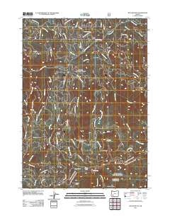
2011 Map of Butler Butte
USGS Topo · Published 2011About this map
Butler Butte and the high ridges of Jackson County define this 2011 Forest Service study, where a dense network of National Forest development roads provides access to isolated mountain outposts. The terrain is marked by seasonal camps and shelters such as Freezeout Camp, Whisky Camp, and Sugarpine Shelter, reflecting a landscape managed for timber and resource protection. Notable topographical landmarks like Bald Ridge and the Grassy Range separate the deep drainage basins of Beaver Creek and Jackson Creek. The presence of the Neal Camp Burn in the southeast corner provides a clear indication of recent fire history and forest regeneration efforts. Genealogists and local historians can trace the paths of historical forest travel through Tucker Gap and across Green Prairie, following the numerous creeks like Tallow Creek and Black Canyon Creek that carve through the volcanic landscape.
Find a feature on this map
52 named features on this map. Tap any name to fly to it.
Don’t see what you’re looking for? This feature index may not catch every label — zoom into the map to look around manually.
Map Details
Editions of this 2011 Butler Butte Map
This is the sole edition of this map. No revisions or reprints were ever made.
Other maps of this area

1891 · Ashland
USGS Topo · 1:250,000

1893 · Ashland
USGS Topo · 1:250,000

1897 · Ashland
USGS Topo · 1:250,000

1944 · Tiller
USGS Topo · 1:62,500

1944 · Abbott Butte
USGS Topo · 1:62,500

1947 · Abbott Butte
USGS Topo · 1:62,500

1955 · Quartz Mtn
USGS Topo · 1:62,500

1955 · Red Butte
USGS Topo · 1:62,500

1955 · Medford
USGS Topo · 1:250,000

1957 · Medford
USGS Topo · 1:250,000