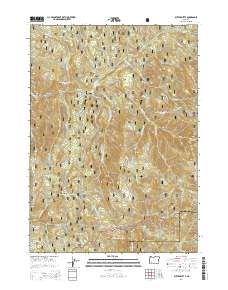
2014 Map of Butler Butte
USGS Topo · Published 2014About this map
Butler Butte rises along the border of Douglas and Jackson Counties, serving as a high-altitude anchor for this heavily forested portion of the Southern Cascades. This modern topography documents the intersection of the Umpqua National Forest and the Rogue River National Forest, where a dense network of forest development roads like Nat For Dev Rd 2980 and Nat For Dev Rd 2950 crisscross the drainage basins. Notable water systems include Whisky Creek and Black Canyon Creek, which carve through the varied terrain of Squaw Flat and Grassy Range. The map reveals a landscape managed for timber and recreation, highlighting landmarks such as Cow Horn Arch and Tallow Butte that define the local geography. Significant changes in elevation are traced across Bald Ridge and down toward Beaver Creek, providing a detailed look at the hydrology and land-use divisions of these protected public lands.
Find a feature on this map
51 named features on this map. Tap any name to fly to it.
Don’t see what you’re looking for? This feature index may not catch every label — zoom into the map to look around manually.
Map Details
Editions of this 2014 Butler Butte Map
This is the sole edition of this map. No revisions or reprints were ever made.
Other maps of this area

1891 · Ashland
USGS Topo · 1:250,000

1893 · Ashland
USGS Topo · 1:250,000

1897 · Ashland
USGS Topo · 1:250,000

1944 · Tiller
USGS Topo · 1:62,500

1944 · Abbott Butte
USGS Topo · 1:62,500

1947 · Abbott Butte
USGS Topo · 1:62,500

1955 · Quartz Mtn
USGS Topo · 1:62,500

1955 · Red Butte
USGS Topo · 1:62,500

1955 · Medford
USGS Topo · 1:250,000

1957 · Medford
USGS Topo · 1:250,000