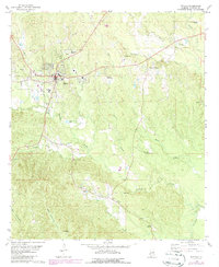
1978 Map of Butler
USGS Topo · Published 1986About this map
Butler serves as the focal point of this west-central Alabama survey, where the town grid is depicted with precision alongside its local institutions like the Patrician Academy and City Park. The landscape is defined by a dense network of waterways, including Wahalak Creek and the Middle Tallawampa and Big Tallawampa systems. To the east, the settlement of Mount Sterling is recorded near St Jean Ch, illustrating the traditional pattern of rural community life centered on local parishes and small-scale agriculture.
Find a feature on this map
31 named features on this map. Tap any name to fly to it.
Don’t see what you’re looking for? This feature index may not catch every label — zoom into the map to look around manually.
Map Details
Editions of this 1978 Butler Map
2 editions found
Other maps of this area

1953 · Hattiesburg
USGS Topo · 1:250,000

1953 · Meridian
USGS Topo · 1:250,000

1957 · Meridian
USGS Topo · 1:250,000

1958 · Hattiesburg
USGS Topo · 1:250,000

1965 · Meridian
USGS Topo · 1:250,000

1971 · Ararat
USGS Topo · 1:24,000

1972 · Woods Bluff
USGS Topo · 1:24,000
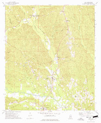
1974 · Toxey
USGS Topo · 1:24,000

1974 · Lisman
USGS Topo · 1:24,000
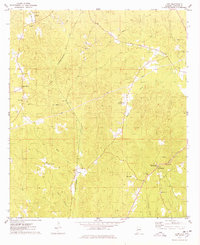
1974 · Land
USGS Topo · 1:24,000