
1958 Map of Butler East
USGS Topo · Published 1960About this map
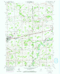
The Principal Meridian Indiana Ohio serves as a stark divider across this landscape in the late 1950s, marking the border between DeKalb County, Indiana, and Williams and Defiance Counties in Ohio. The eastern edge of Butler serves as a primary hub, with the Butler Cem and a nearby Sewage Disposal plant situated on the town's periphery. Agricultural life is anchored by small, decentralized clusters like Stafford Center and Artic, while numerous family and community cemeteries such as Farnham Cem and Maple Grove Cem dot the rural sections.
Find a feature on this map
34 named features on this map. Tap any name to fly to it.
Don’t see what you’re looking for? This feature index may not catch every label — zoom into the map to look around manually.
Map Details
Editions of this 1958 Butler East Map
4 editions found
Other maps of this area

1914 · Pioneer
USGS Topo · 1:62,500

1914 · Bryan
USGS Topo · 1:62,500

1939 · Hamilton
USGS Topo · 1:24,000

1940 · Metz
USGS Topo · 1:24,000

1943 · Bryan
USGS Topo · 1:62,500

1944 · Pioneer
USGS Topo · 1:62,500

1948 · Hamilton
USGS Topo · 1:24,000

1953 · Fort Wayne
USGS Topo · 1:250,000

1956 · Fort Wayne
USGS Topo · 1:250,000

1958 · Hicksville
USGS Topo · 1:24,000