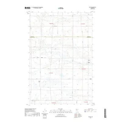
2019 Map of Butler
USGS Topo · Published 2019About this map
The Redeye River and Kettle River meander through this rural portion of the Minnesota lake country, defining a landscape of agricultural sections and scattered wetlands. Small settlements like Butler and Hillview serve as the primary anchors for the local community, which is connected by a grid of county roads including Co Hwy 67 and Co Hwy 8. For genealogists, the map is particularly valuable for locating rural burial grounds such as Holy Cross Cem, Red Eye Valley Cem, and Paddock-Bethel Cem. The northern portion of the quadrangle is marked by the Becker Co Otter Tail Co line, while the southern reaches feature the Hintzman Private Airport near Mud Lake. This layout provides a clear view of the area's transition from river-drained forest and farmland to more water-logged terrain in the central sections.
Find a feature on this map
34 named features on this map. Tap any name to fly to it.
Don’t see what you’re looking for? This feature index may not catch every label — zoom into the map to look around manually.
Map Details
Editions of this 2019 Butler Map
This is the sole edition of this map. No revisions or reprints were ever made.
Other maps of this area

1953 · Brainerd
USGS Topo · 1:250,000

1957 · Brainerd
USGS Topo · 1:250,000

1958 · Brainerd
USGS Topo · 1:250,000

1965 · Brainerd
USGS Topo · 1:250,000

1969 · Wolf Lake
USGS Topo · 1:24,000

1969 · Sebeka SW
USGS Topo · 1:24,000

1969 · Evergreen
USGS Topo · 1:24,000

1969 · Park Rapids SW
USGS Topo · 1:24,000

1969 · New York Mills NW
USGS Topo · 1:24,000

1969 · Sebeka NW
USGS Topo · 1:24,000