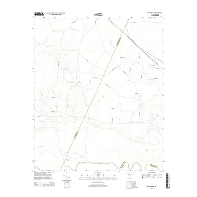
2014 Map of Butlers Bay
USGS Topo · Published 2014About this map
Greeleyville stands at the northeastern edge of this Lowcountry landscape, where the Santee River forms a wide, meandering southern boundary. The terrain is defined by an intricate network of waterways and wetlands, including the sprawling Mount Hope Swamp and the eponymous Butlers Bay. These blackwater systems feed into numerous lakes along the river corridor, such as Franks Lake, Broad Lake, and Little Lake.
Find a feature on this map
45 named features on this map. Tap any name to fly to it.
Don’t see what you’re looking for? This feature index may not catch every label — zoom into the map to look around manually.
Map Details
Editions of this 2014 Butlers Bay Map
This is the sole edition of this map. No revisions or reprints were ever made.
Other maps of this area

1920 · Chicora
USGS Topo · 1:48,000

1920 · Manning
USGS Topo · 1:48,000

1921 · Chicora
USGS Topo · 1:62,500

1921 · Manning
USGS Topo · 1:62,500

1943 · Chicora
USGS Topo · 1:62,500

1943 · Bonneau
USGS Topo · 1:62,500

1944 · Manning
USGS Topo · 1:62,500

1946 · Kingstree
USGS Topo · 1:62,500

1949 · Georgetown
USGS Topo · 1:250,000

1954 · Augusta
USGS Topo · 1:250,000