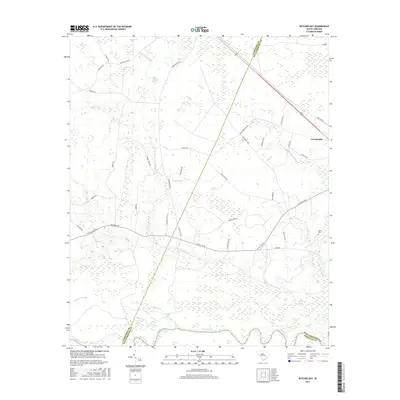
2017 Map of Butlers Bay
USGS Topo · Published 2017About this map
Greeleyville sits at the edge of a landscape defined by the serpentine course of the Santee River and the expansive wetlands of the Coastal Plain. The southern border of this region is a complex network of oxbow lakes and river bends, including Broad Lake, Franks Lake, and Cahusac Lake, which illustrate the shifting nature of the river's path over time. Moving away from the river, the terrain is characterized by a series of "bays" and swamps, such as Butlers Bay, Buck Bay, and Hog Meadow Swamp, interspersed with drainages like Doctor Br and Mount Hope Swamp.
Find a feature on this map
53 named features on this map. Tap any name to fly to it.
Don’t see what you’re looking for? This feature index may not catch every label — zoom into the map to look around manually.
Map Details
Editions of this 2017 Butlers Bay Map
This is the sole edition of this map. No revisions or reprints were ever made.
Other maps of this area

1920 · Chicora
USGS Topo · 1:48,000

1920 · Manning
USGS Topo · 1:48,000

1921 · Chicora
USGS Topo · 1:62,500

1921 · Manning
USGS Topo · 1:62,500

1943 · Chicora
USGS Topo · 1:62,500

1943 · Bonneau
USGS Topo · 1:62,500

1944 · Manning
USGS Topo · 1:62,500

1946 · Kingstree
USGS Topo · 1:62,500

1949 · Georgetown
USGS Topo · 1:250,000

1954 · Augusta
USGS Topo · 1:250,000