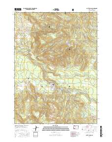
2017 Map of Butte Falls
USGS Topo · Published 2017About this map
The town of Butte Falls serves as the focal point of this Jackson County survey, situated at the junction of Butte Falls Hwy and several regional routes like Butte Falls-Fish Lake Rd. The landscape is defined by the complex hydrology of the Big Butte Creek watershed, which includes the N Fork Big Butte Cr and South Fork Big Butte Creek. An interesting engineering feature, the Medford Aqueduct, cuts across the western portion of the terrain, tracing the contours below Butte Hills. Higher elevations to the north and east are marked by Santiam Peak and Fredenburg Butte, where water sources like Fredenburg Spring and Summit Lake are found. Local history is anchored by family-named landmarks such as Beekman Flat and Beekman Ridge, along with the Butte Falls Cem located just west of the town center near Obenchain Rd.
Find a feature on this map
48 named features on this map. Tap any name to fly to it.
Don’t see what you’re looking for? This feature index may not catch every label — zoom into the map to look around manually.
Map Details
Editions of this 2017 Butte Falls Map
This is the sole edition of this map. No revisions or reprints were ever made.
Other maps of this area

1891 · Ashland
USGS Topo · 1:250,000

1893 · Ashland
USGS Topo · 1:250,000

1897 · Ashland
USGS Topo · 1:250,000

1938 · Medford
USGS Topo · 1:125,000

1954 · Butte Falls
USGS Topo · 1:62,500

1954 · Lakecreek
USGS Topo · 1:62,500

1955 · Rustler Peak
USGS Topo · 1:62,500

1955 · Mt. Mc Loughlin
USGS Topo · 1:62,500

1955 · Medford
USGS Topo · 1:250,000

1957 · Medford
USGS Topo · 1:250,000