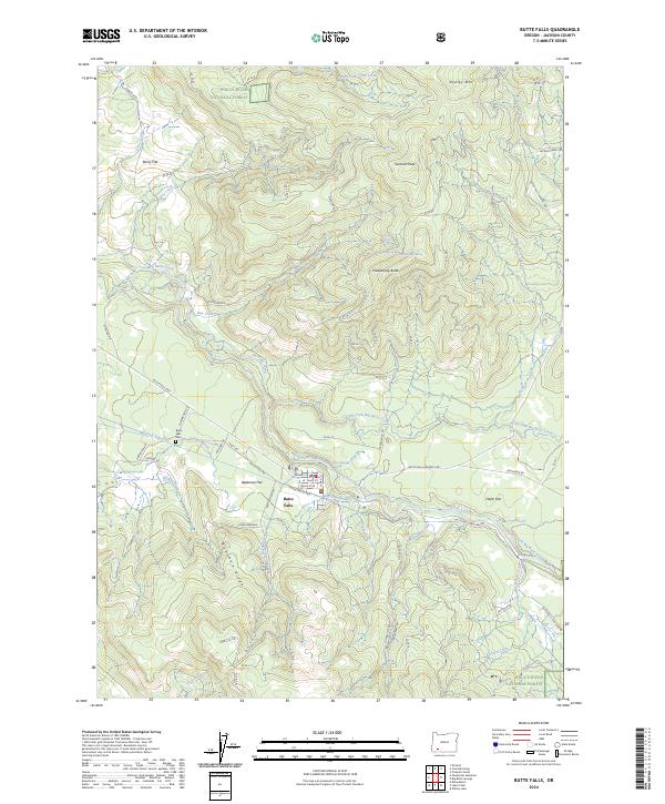
2024 Map of Butte Falls
USGS Topo · Published 2024About this map
Butte Falls sits at the heart of this Southern Oregon landscape, where the town grid meets the southern reach of the Rogue River National Forest. The geography is defined by the drainage systems of Big Butte Creek and its many tributaries, such as Box Creek and Dog Creek, which carve through a series of named volcanic features and flats. Of particular note for local history is the Medford Aqueduct, a significant water infrastructure project tracing a path across the township. The map reveals a pattern of timber and forest management with an extensive network of named forest roads like Divide Road-A and Fredenburg Rd. Local landmarks including the Butte Falls Cem, Beekman Flat, and Santiam Peak provide specific points of interest for those tracing family roots or geographic changes in Jackson County.
Find a feature on this map
63 named features on this map. Tap any name to fly to it.
Don’t see what you’re looking for? This feature index may not catch every label — zoom into the map to look around manually.
Map Details
Editions of this 2024 Butte Falls Map
This is the sole edition of this map. No revisions or reprints were ever made.
Other maps of this area

1891 · Ashland
USGS Topo · 1:250,000

1893 · Ashland
USGS Topo · 1:250,000

1897 · Ashland
USGS Topo · 1:250,000

1938 · Medford
USGS Topo · 1:125,000

1954 · Butte Falls
USGS Topo · 1:62,500

1954 · Lakecreek
USGS Topo · 1:62,500

1955 · Rustler Peak
USGS Topo · 1:62,500

1955 · Mt. Mc Loughlin
USGS Topo · 1:62,500

1955 · Medford
USGS Topo · 1:250,000

1957 · Medford
USGS Topo · 1:250,000