
1959 Map of Butte North
USGS Topo · Published 1961About this map
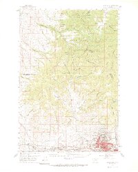
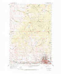
Industrial mining operations dominate the southern portion of this landscape, centered on the massive Berkeley Pit and the bustling city of Butte. The map captures the complex urban and industrial geography of the late 1950s, showing the dense residential clusters of Walkerville, Centerville, and Meaderville perched on the hillsides above the mines. A sophisticated transportation network of the Butte Anaconda and Pacific, Northern Pacific, and Chicago Milwaukee St Paul and Pacific railroads connects the various mining districts and nearby settlements like Ramsay and Silver Bow.
Find a feature on this map
68 named features on this map. Tap any name to fly to it.
Don’t see what you’re looking for? This feature index may not catch every label — zoom into the map to look around manually.
Map Details
Editions of this 1959 Butte North Map
3 editions found
Other maps of this area

1889 · Helena
USGS Topo · 1:250,000

1893 · Helena
USGS Topo · 1:250,000

1893 · Dillon
USGS Topo · 1:250,000

1899 · Boulder
USGS Topo · 1:125,000

1899 · Helena
USGS Topo · 1:250,000

1903 · Helena
USGS Topo · 1:250,000

1947 · Butte
USGS Topo · 1:250,000

1954 · Elk Park
USGS Topo · 1:62,500

1954 · Basin
USGS Topo · 1:62,500

1955 · Dillon
USGS Topo · 1:250,000