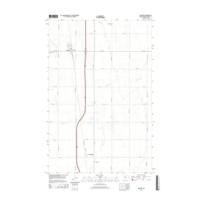
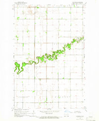
2014 Map of Buxton
USGS Topo · Published 2014About this map
Buxton and Cummings serve as the primary anchors for this section of Traill County, illustrating a landscape defined by a rigid section-line grid typical of the Red River Valley. The topography is exceptionally flat, drained by the meandering course of Buffalo Coulee which cuts diagonally across the prairie. For genealogists and local historians, the map is remarkably dense with burial sites relative to its sparse population, identifying the East Immanuel Cem, West Immanuel Cem, Reeves Cem, and Cummings Cem. The transportation network is built around the north-south corridor of CR-81, with the street plan of Buxton featuring names like Broadway and Reeve Ave, while Cummings sits further south along Front St.
Find a feature on this map
27 named features on this map. Tap any name to fly to it.
Don’t see what you’re looking for? This feature index may not catch every label — zoom into the map to look around manually.
Map Details
Editions of this 2014 Buxton Map
This is the sole edition of this map. No revisions or reprints were ever made.
Other maps of this area
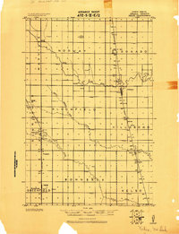
1918 · Kelso
USGS Topo · 1:62,500
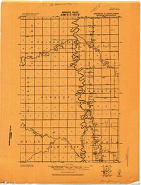
1918 · Hendrum
USGS Topo · 1:62,500
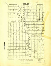
1919 · Eldred
USGS Topo · 1:62,500
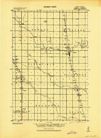
1943 · Kelso
USGS Topo · 1:62,500

1952 · Grand Forks
USGS Topo · 1:250,000

1956 · Grand Forks
USGS Topo · 1:250,000
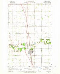
1963 · Hillsboro
USGS Topo · 1:24,000
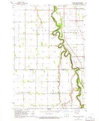
1964 · Climax NW
USGS Topo · 1:24,000
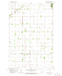
1964 · Climax SW
USGS Topo · 1:24,000
1964 · Caledonia
USGS Topo · 1:24,000