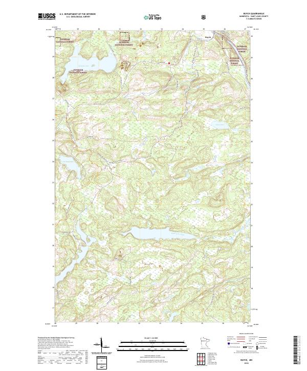
2022 Map of Buyck
USGS Topo · Published 2022About this map
Buyck serves as the primary outpost in this northern Minnesota landscape, situated within the sprawling boundaries of the Superior National Forest. The topography is defined by the flow of the Vermilion River in the northeast, where the Decaigny Rapids Trl and Vermilion River Trl trace its winding course. This region is characterized by a dense network of water bodies and recreational corridors, including the prominent Kjostad Lake, Olive Lake, and Section Thirty Lake. Timber and recreation remain central to the local geography, as evidenced by the numerous logging and forest roads like Holm Logging Rd and the Elbow Lake-Forest Rd. Significant recreational infrastructure is mapped in detail, specifically the Voyageur Snowmobile Trl and the David Dill-Arrowhead State Trl, which provide passage through the wooded and marshy terrain surrounding Eightmile Creek.
Find a feature on this map
36 named features on this map. Tap any name to fly to it.
Don’t see what you’re looking for? This feature index may not catch every label — zoom into the map to look around manually.
Map Details
Editions of this 2022 Buyck Map
This is the sole edition of this map. No revisions or reprints were ever made.
Other maps of this area

1954 · Hibbing
USGS Topo · 1:250,000

1954 · International Falls
USGS Topo · 1:250,000

1956 · Vermilion Dam
USGS Topo · 1:24,000

1957 · Hibbing
USGS Topo · 1:250,000

1957 · International Falls
USGS Topo · 1:250,000

1958 · International Falls
USGS Topo · 1:250,000

1958 · Hibbing
USGS Topo · 1:250,000

1963 · Echo Lake
USGS Topo · 1:24,000

1963 · Picket Lake
USGS Topo · 1:24,000

1964 · Hibbing
USGS Topo · 1:250,000