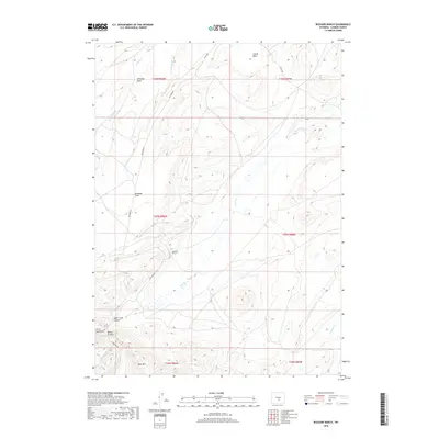
2018 Map of Buzzard Ranch
USGS Topo · Published 2018About this map
Buzzard Ranch serves as a central landmark in this high-altitude Carbon County landscape, situated where the high plains meet the northern slopes of the Ferris Mountains. The terrain is defined by complex drainage systems and topographic depressions, including the broad Arkansas Flats and the sheltered Castle Basin to the northeast. Several significant canyons cut through the rising southern elevations, most notably Miners Canyon and Sand Creek Canyon, suggesting a history of mineral exploration and rugged passage through the mountain foothills.
Find a feature on this map
22 named features on this map. Tap any name to fly to it.
Don’t see what you’re looking for? This feature index may not catch every label — zoom into the map to look around manually.
Map Details
Editions of this 2018 Buzzard Ranch Map
This is the sole edition of this map. No revisions or reprints were ever made.
Other maps of this area

1951 · Pathfinder Reservoir NW
USGS Topo · 1:24,000

1951 · Independence Rock
USGS Topo · 1:24,000

1951 · Fort Ridge
USGS Topo · 1:24,000

1953 · Bradley Peak
USGS Topo · 1:24,000

1953 · Seminoe Dam
USGS Topo · 1:24,000

1953 · Ferris
USGS Topo · 1:24,000

1953 · Pathfinder Reservoir SW
USGS Topo · 1:24,000

1953 · Buzzard Ranch
USGS Topo · 1:24,000

1953 · Spanish Mine
USGS Topo · 1:24,000

1955 · Casper
USGS Topo · 1:250,000