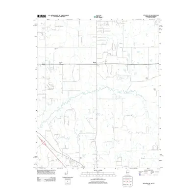
2012 Map of Byhalia NW
USGS Topo · Published 2012About this map
Coldwater River meanders across the center of this landscape along the Tennessee and Mississippi border. Small rural communities like Barton and Handy Corner anchor a grid of country roads and newer residential subdivisions. The map is particularly dense with genealogical sites, showing numerous family and church burial grounds including McGehee Cem, Shiloh Cem, and Saint Mathis Cem near the southern boundary. Aviation interests are represented by the Colonial Air Park Airport situated just south of the State Line Rd. The drainage pattern is defined by several waterways such as Byhalia Cr and Sticky Cr, which intersect the low-lying terrain. This 2012 survey illustrates the transition of the area into a suburban-rural mix, while maintaining the historical footprint of its legacy settlements and cemeteries.
Find a feature on this map
116 named features on this map. Tap any name to fly to it.
Don’t see what you’re looking for? This feature index may not catch every label — zoom into the map to look around manually.
Map Details
Editions of this 2012 Byhalia NW Map
This is the sole edition of this map. No revisions or reprints were ever made.
Other maps of this area

1943 · Collierville
USGS Topo · 1:62,500

1944 · Hernando
USGS Topo · 1:62,500

1948 · Byhalia
USGS Topo · 1:62,500

1953 · Collierville
USGS Topo · 1:50,000

1956 · Blytheville
USGS Topo · 1:250,000

1956 · Tupelo
USGS Topo · 1:250,000

1958 · Tupelo
USGS Topo · 1:250,000

1959 · Blytheville
USGS Topo · 1:250,000

1960 · Bartlett
USGS Topo · 1:62,500

1961 · Bartlett
USGS Topo · 1:62,500