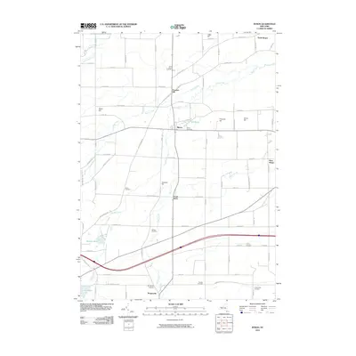
2010 Map of Byron
USGS Topo · Published 2010About this map
Black Creek winds through the central corridor of this Western New York landscape, connecting the primary settlements of Byron and South Byron. The map reveals a deeply established agricultural and residential pattern, where large family name-stakes are preserved in landmarks like Pumpkin Hill, Casswell Hill, and Harris Hill. For those researching local lineages, the abundance of well-marked burial grounds is notable, ranging from the North Byron Cemetery to the smaller Thwing Cemetery and Langworthy Cemetery on the eastern edge.
Find a feature on this map
78 named features on this map. Tap any name to fly to it.
Don’t see what you’re looking for? This feature index may not catch every label — zoom into the map to look around manually.
Map Details
Editions of this 2010 Byron Map
This is the sole edition of this map. No revisions or reprints were ever made.
Other maps of this area

1897 · Albion
USGS Topo · 1:62,500

1899 · Brockport
USGS Topo · 1:62,500

1904 · Batavia
USGS Topo · 1:62,500

1904 · Caledonia
USGS Topo · 1:62,500

1934 · Brockport
USGS Topo · 1:24,000

1935 · Churchville
USGS Topo · 1:24,000

1944 · Churchville
USGS Topo · 1:31,680

1944 · Holley
USGS Topo · 1:31,680

1944 · Byron
USGS Topo · 1:31,680

1944 · Stafford
USGS Topo · 1:31,680