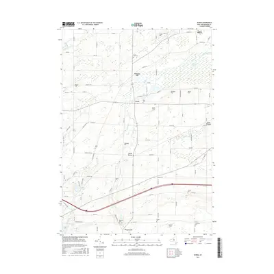
2016 Map of Byron
USGS Topo · Published 2016About this map
The Byron-Bergen Swamp dominates the northeastern landscape of this Genesee County region, marking a significant wetland complex between North Bergen and the village of Byron. This terrain is characterized by a series of drumlin-like elevations, including Pumpkin Hill, Harris Hill, and Lidke Hill, which separate the various drainage basins of Black Creek and Oak Orchard Cr. The settlement pattern follows these topographical rises, with small communities like South Byron and Morganville positioned along established routes such as Transit Rd and Caswell Rd.
Find a feature on this map
93 named features on this map. Tap any name to fly to it.
Don’t see what you’re looking for? This feature index may not catch every label — zoom into the map to look around manually.
Map Details
Editions of this 2016 Byron Map
This is the sole edition of this map. No revisions or reprints were ever made.
Other maps of this area

1897 · Albion
USGS Topo · 1:62,500

1899 · Brockport
USGS Topo · 1:62,500

1904 · Batavia
USGS Topo · 1:62,500

1904 · Caledonia
USGS Topo · 1:62,500

1934 · Brockport
USGS Topo · 1:24,000

1935 · Churchville
USGS Topo · 1:24,000

1944 · Churchville
USGS Topo · 1:31,680

1944 · Holley
USGS Topo · 1:31,680

1944 · Byron
USGS Topo · 1:31,680

1944 · Stafford
USGS Topo · 1:31,680