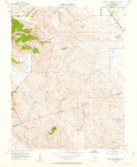
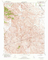
1953 Map of Byron Hot Springs
USGS Topo · Published 1963About this map
The hills of Los Meganos and the sprawling Cañada De Los Vaqueros define this landscape on the border of Contra Costa and Alameda counties. In the early 1950s, the area remained largely agricultural and industrial, marked by the presence of an Oil Pumping Station and the vital water infrastructure of the Contra Costa Canal. The town of Byron serves as the local hub along the Southern Pacific tracks, while the nearby Byron Hot Springs stands as a notable landmark near the edge of the valley. Movement through the varied terrain is facilitated by historic routes such as Camino Diablo and Vasco Road. From the heights of Brushy Peak down to the drainage of Marsh Creek and Kellogg Creek, the map captures a period of transition as mid-century infrastructure began to overlay traditional California ranch lands.
Find a feature on this map
20 named features on this map. Tap any name to fly to it.
Don’t see what you’re looking for? This feature index may not catch every label — zoom into the map to look around manually.
Map Details
Editions of this 1953 Byron Hot Springs Map
5 editions found
Other maps of this area

1896 · Mt. Diablo
USGS Topo · 1:62,500

1898 · Mt. Diablo
USGS Topo · 1:62,500

1906 · Pleasanton
USGS Topo · 1:62,500

1907 · Tesla
USGS Topo · 1:62,500

1911 · Byron Hot Springs
USGS Topo · 1:31,680

1913 · Woodward Island
USGS Topo · 1:31,680

1914 · Brentwood
USGS Topo · 1:31,680

1914 · Bethany
USGS Topo · 1:31,680

1916 · Lone Tree Valley
USGS Topo · 1:31,680

1916 · Byron Hot Springs
USGS Topo · 1:31,680