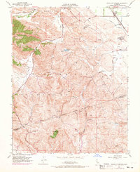
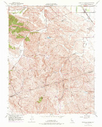
1953 Map of Byron Hot Springs
USGS Topo · Published 1969About this map
Byron Hot Springs serves as a focal point for this landscape at the edge of the San Joaquin Valley, where the flatlands meet the rising elevations of Los Meganos and the Canada De Los Vaqueros. In the early 1950s, the area's infrastructure reflects a transition between agricultural irrigation and the growing energy needs of the state, evidenced by the Southern Pacific rail line and a network of pipelines and an aqueduct cutting through the terrain.
Find a feature on this map
26 named features on this map. Tap any name to fly to it.
Don’t see what you’re looking for? This feature index may not catch every label — zoom into the map to look around manually.
Map Details
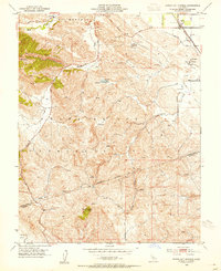
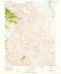
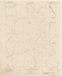
Editions of this 1953 Byron Hot Springs Map
5 editions found
Other maps of this area

1896 · Mt. Diablo
USGS Topo · 1:62,500

1898 · Mt. Diablo
USGS Topo · 1:62,500

1906 · Pleasanton
USGS Topo · 1:62,500

1907 · Tesla
USGS Topo · 1:62,500

1911 · Byron Hot Springs
USGS Topo · 1:31,680

1913 · Woodward Island
USGS Topo · 1:31,680

1914 · Brentwood
USGS Topo · 1:31,680

1914 · Bethany
USGS Topo · 1:31,680

1916 · Lone Tree Valley
USGS Topo · 1:31,680

1916 · Byron Hot Springs
USGS Topo · 1:31,680