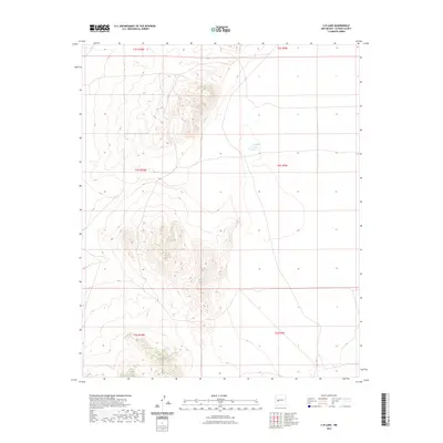
2023 Map of C-N Lake
USGS Topo · Published 2023About this map
C-N Lake and the surrounding high desert topography of Catron County define this landscape as it appeared in the early 21st century. The map depicts a rugged, high-elevation terrain characterized by intricate contour intervals that reveal a network of canyons and mesas typical of western New Mexico. This specific area is marked by a complex system of Public Land Survey System boundaries, including portions of t3s r10w, t3s r9w, t4s r10w, t4s r9w, t5s r10w, and t5s r9w. These township and range demarcations highlight the methodical land division of the American West, providing a precise spatial context for the few water features present in this arid environment.
Find a feature on this map
7 named features on this map. Tap any name to fly to it.
Don’t see what you’re looking for? This feature index may not catch every label — zoom into the map to look around manually.
Map Details
Editions of this 2023 C-N Lake Map
This is the sole edition of this map. No revisions or reprints were ever made.
Other maps of this area

1954 · Tularosa
USGS Topo · 1:250,000

1954 · Socorro
USGS Topo · 1:250,000

1958 · Socorro
USGS Topo · 1:250,000

1958 · Tularosa
USGS Topo · 1:250,000

1962 · Socorro
USGS Topo · 1:250,000

1963 · Anderson Peak
USGS Topo · 1:24,000

1965 · Oak Peak
USGS Topo · 1:24,000
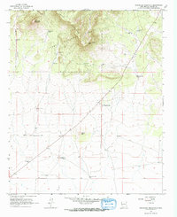
1965 · Sugarloaf Mountain
USGS Topo · 1:24,000
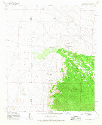
1965 · Kellog Well
USGS Topo · 1:24,000
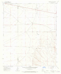
1965 · Augustine Well
USGS Topo · 1:24,000