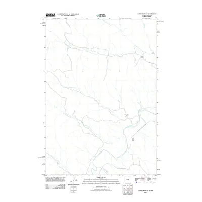
2011 Map of Cabin Creek NE
USGS Topo · Published 2011About this map
The Powder River snakes through this high plains landscape at the border of Wyoming and Montana, defining a region where water and energy resources dictate the local economy. In the northeastern corner of the sheet, the Fence Creek Oil Field and the Ford Number 1 Dam indicate the industrial footprint upon this drainage basin. The terrain is marked by distinctive geological features like Hells Half Acre Canyon and Gray Cabin Draw, which flank the river's winding path.
Find a feature on this map
16 named features on this map. Tap any name to fly to it.
Don’t see what you’re looking for? This feature index may not catch every label — zoom into the map to look around manually.
Map Details
Editions of this 2011 Cabin Creek NE Map
This is the sole edition of this map. No revisions or reprints were ever made.
Other maps of this area

1954 · Hardin
USGS Topo · 1:250,000

1954 · Ekalaka
USGS Topo · 1:250,000

1954 · Gillette
USGS Topo · 1:250,000

1955 · Sheridan
USGS Topo · 1:250,000

1955 · Gillette
USGS Topo · 1:250,000

1956 · Ekalaka
USGS Topo · 1:250,000

1957 · Hardin
USGS Topo · 1:250,000

1958 · Gillette
USGS Topo · 1:250,000

1958 · Ekalaka
USGS Topo · 1:250,000

1958 · Hardin
USGS Topo · 1:250,000