
1971 Map of Cabin Creek NW
USGS Topo · Published 1974About this map
The Montana-Wyoming border cuts across the northern edge of this landscape, where the high plains transition into the drainage systems of the Powder River Basin. The topography is defined by an intricate network of seasonal watercourses and draws, including Sawmill Draw, Tanney Draw, and Green Draw, which underscore the historical importance of water management in this arid grazing country. Evidence of resource exploration is scattered across the sheet in the form of several Drill Holes, marking the industrial footprint of the early 1970s. The drainage of Cabin Creek dominates the central portion of the map, while prominent landmarks like Squaw Butte provide navigational anchors in a terrain otherwise characterized by its undulating ridges. Named branches such as Schoolhouse Prong and West Prong Seventysix Creek hint at earlier settlement patterns and local nomenclature from the ranching era.
Find a feature on this map
18 named features on this map. Tap any name to fly to it.
Don’t see what you’re looking for? This feature index may not catch every label — zoom into the map to look around manually.
Map Details
Editions of this 1971 Cabin Creek NW Map
This is the sole edition of this map. No revisions or reprints were ever made.
Other maps of this area

1954 · Hardin
USGS Topo · 1:250,000

1955 · Sheridan
USGS Topo · 1:250,000

1957 · Hardin
USGS Topo · 1:250,000

1958 · Hardin
USGS Topo · 1:250,000

1958 · Sheridan
USGS Topo · 1:250,000

1962 · Sheridan
USGS Topo · 1:250,000

1971 · Cabin Creek SE
USGS Topo · 1:24,000
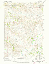
1971 · Cabin Creek NE
USGS Topo · 1:24,000

1971 · Gardner Gulch
USGS Topo · 1:24,000
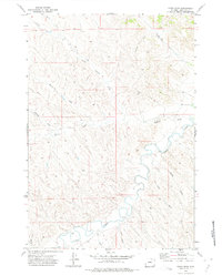
1971 · Fawn Draw
USGS Topo · 1:24,000