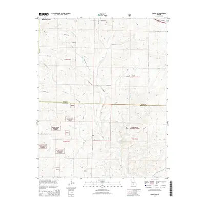
2015 Map of Cabool SW
USGS Topo · Published 2015About this map
The Mark Twain National Forest dominates the southern half of this Missouri landscape, where the headwaters of several drainages carve through the terrain. The boundary between Texas and Douglas counties bisects the map, separating the rural highlands near Macedonia from the forested hollows further south. Waterways define the local geography, with the N Fork River and its many tributaries, including Panther Cr and Little Creek, creating a network of valleys that historically dictated settlement and road placement.
Find a feature on this map
40 named features on this map. Tap any name to fly to it.
Don’t see what you’re looking for? This feature index may not catch every label — zoom into the map to look around manually.
Map Details
Editions of this 2015 Cabool SW Map
This is the sole edition of this map. No revisions or reprints were ever made.
Other maps of this area

1937 · Buckhart
USGS Topo · 1:48,000

1939 · Topaz
USGS Topo · 1:62,500

1941 · Topaz
USGS Topo · 1:62,500

1943 · Buckhart
USGS Topo · 1:62,500

1945 · Harrison
USGS Topo · 1:250,000

1945 · Buckhart
USGS Topo · 1:62,500

1949 · Harrison
USGS Topo · 1:250,000

1950 · Cabool SW
USGS Topo · 1:24,000

1951 · Mountain Grove South
USGS Topo · 1:24,000

1951 · Cabool SE
USGS Topo · 1:24,000