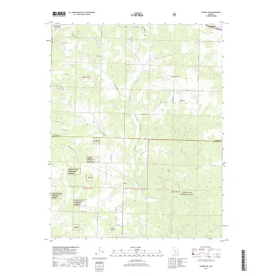
2017 Map of Cabool SW
USGS Topo · Published 2017About this map
The N Fork River and its numerous tributaries, including Panther Cr and Hungry Cr, carve a complex drainage pattern across this portion of the Ozarks. The landscape is defined by the extensive reaches of the Mark Twain National Forest, which covers much of the southern half of the map. Small settlements and local landmarks provide anchors for genealogical research, notably the community of Ann and the Macedonia Cem located along Macedonia RD. The terrain varies from the elevations near Mountain Grove to the deep depressions of Big Gulch and Creasy Hollow. A network of rural routes like Pleasant Hill RD and Cartwright RD connects isolated farmsteads and forest holdings, reflecting the region's enduring rural character and its reliance on the timber and water resources of the North Fork watershed.
Find a feature on this map
59 named features on this map. Tap any name to fly to it.
Don’t see what you’re looking for? This feature index may not catch every label — zoom into the map to look around manually.
Map Details
Editions of this 2017 Cabool SW Map
This is the sole edition of this map. No revisions or reprints were ever made.
Other maps of this area

1937 · Buckhart
USGS Topo · 1:48,000

1939 · Topaz
USGS Topo · 1:62,500

1941 · Topaz
USGS Topo · 1:62,500

1943 · Buckhart
USGS Topo · 1:62,500

1945 · Harrison
USGS Topo · 1:250,000

1945 · Buckhart
USGS Topo · 1:62,500

1949 · Harrison
USGS Topo · 1:250,000

1950 · Cabool SW
USGS Topo · 1:24,000

1951 · Mountain Grove South
USGS Topo · 1:24,000

1951 · Cabool SE
USGS Topo · 1:24,000