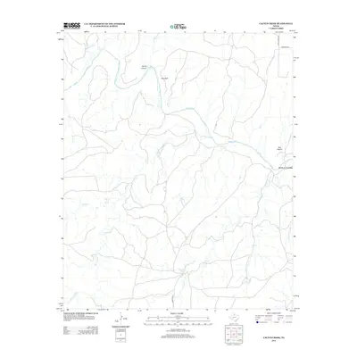
2012 Map of Cactus Creek
USGS Topo · Published 2012About this map
Pease River cuts through the northern landscape of Hardeman County, defining a region where water sources dictate the placement of early routes and ranching infrastructure. This modern survey highlights a network of drainage systems, including Talking John Cr and Cactus Cr, which flow through prominent terrain features like Spring Canyon and Bull Canyon. The presence of reliable water is noted by the marking of Talking John Springs and Dripping Springs, locations that have historically served as vital anchors in this arid environment.
Find a feature on this map
15 named features on this map. Tap any name to fly to it.
Don’t see what you’re looking for? This feature index may not catch every label — zoom into the map to look around manually.
Map Details
Editions of this 2012 Cactus Creek Map
This is the sole edition of this map. No revisions or reprints were ever made.
Other maps of this area

1927 · Quanah 3-a
USGS Topo · 1:48,000

1927 · Quanah 3-b
USGS Topo · 1:48,000

1932 · Vivian
USGS Topo · 1:62,500

1954 · Plainview
USGS Topo · 1:250,000

1955 · Lawton
USGS Topo · 1:250,000

1958 · Plainview
USGS Topo · 1:250,000

1960 · Goodlett
USGS Topo · 1:62,500

1960 · Teacup Mountain
USGS Topo · 1:62,500

1967 · Kirkland South
USGS Topo · 1:24,000

1967 · Triangle Ranch
USGS Topo · 1:24,000