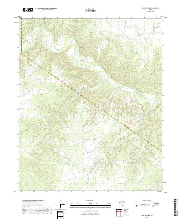
2022 Map of Cactus Creek
USGS Topo · Published 2022About this map
The Pease River carves a deep, winding path through the northern reaches of Foard County, defining a landscape marked by dramatic elevation changes and seasonal water sources. Near the river's edge, Red Bluff stands as a prominent topographical feature, while nearby Spring Canyon and Bull Canyon reveal the erosive power of the region's drainage patterns. This 2022 survey captures the transition between the rolling uplands and the river valley, where life is historically tied to the availability of water.
Find a feature on this map
17 named features on this map. Tap any name to fly to it.
Don’t see what you’re looking for? This feature index may not catch every label — zoom into the map to look around manually.
Map Details
Editions of this 2022 Cactus Creek Map
This is the sole edition of this map. No revisions or reprints were ever made.
Other maps of this area

1927 · Quanah 3-a
USGS Topo · 1:48,000

1927 · Quanah 3-b
USGS Topo · 1:48,000

1932 · Vivian
USGS Topo · 1:62,500

1954 · Plainview
USGS Topo · 1:250,000

1955 · Lawton
USGS Topo · 1:250,000

1958 · Plainview
USGS Topo · 1:250,000

1960 · Goodlett
USGS Topo · 1:62,500

1960 · Teacup Mountain
USGS Topo · 1:62,500

1967 · Kirkland South
USGS Topo · 1:24,000

1967 · Triangle Ranch
USGS Topo · 1:24,000