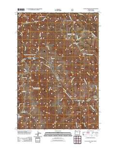
2011 Map of Cactus Mountain
USGS Topo · Published 2011About this map
The Snake River carves a deep path through the canyonlands of Nez Perce County, defining the border between Idaho and Oregon in this 2011 survey. The landscape is characterized by its dramatic verticality, with heights like Cactus Mountain and Sugarloaf Butte rising above a complex system of drainages, including China Creek and Big Sulphur Creek. Human presence is sparse and concentrated near water or historical access points, notably at Dug Bar and the Spencer Ranch, the latter of which features a remote Spencer Ranch Landing Strip.
Find a feature on this map
49 named features on this map. Tap any name to fly to it.
Don’t see what you’re looking for? This feature index may not catch every label — zoom into the map to look around manually.
Map Details
Editions of this 2011 Cactus Mountain Map
This is the sole edition of this map. No revisions or reprints were ever made.
Other maps of this area

1954 · Imnaha
USGS Topo · 1:62,500

1954 · Kernan Point
USGS Topo · 1:62,500

1955 · Grangeville
USGS Topo · 1:250,000

1959 · Grangeville
USGS Topo · 1:250,000

1963 · Cactus Mtn
USGS Topo · 1:24,000

1963 · Deadhorse Ridge
USGS Topo · 1:24,000

1963 · Boles
USGS Topo · 1:24,000

1963 · Rattlesnake Ridge
USGS Topo · 1:24,000

1963 · Wapshilla Creek
USGS Topo · 1:24,000

1963 · Wolf Creek
USGS Topo · 1:24,000