
1956 Map of Cadillac North
USGS Topo · Published 1958About this map
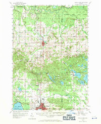
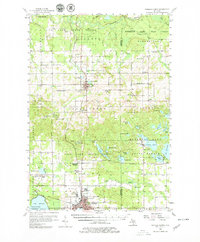
The Manistee River winds through the northern reaches of this mid-century landscape, defining a region where the Fife Lake State Forest and Houghton Lake State Forest meet. The northern edge of Cadillac and the smaller hub of Manton serve as the primary anchors for a network of rural schools and family-named landmarks. The presence of both the Pennsylvania Railroad and the Ann Arbor Railroad reveals the area's importance as a transportation corridor between the lakes and forests.
Find a feature on this map
81 named features on this map. Tap any name to fly to it.
Don’t see what you’re looking for? This feature index may not catch every label — zoom into the map to look around manually.
Map Details
Editions of this 1956 Cadillac North Map
3 editions found
Other maps of this area

1954 · Traverse City
USGS Topo · 1:250,000

1956 · Kalkaska
USGS Topo · 1:62,500

1956 · Fife Lake
USGS Topo · 1:62,500

1956 · Kingsley
USGS Topo · 1:62,500

1956 · Mesick
USGS Topo · 1:62,500

1956 · Lake City
USGS Topo · 1:62,500

1957 · Cadillac South
USGS Topo · 1:62,500

1957 · Luther
USGS Topo · 1:62,500

1957 · Marion
USGS Topo · 1:62,500

1958 · Traverse City
USGS Topo · 1:250,000