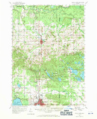
1956 Map of Cadillac North
USGS Topo · Published 1971About this map
The Manistee River and Clam River define the hydraulic character of this northern Michigan landscape, which was being actively managed within the Fife Lake State Forest and Houghton Lake State Forest during the mid-1950s. The settlement of Manton serves as a central hub, while the southern edge is anchored by the northern reaches of Cadillac. This period shows a transition in rural education and community structure, evidenced by numerous small schoolhouses like Greenwood Sch and Gentle Sch, as well as the noted Pleasant Hill Sch (Abandoned).
Find a feature on this map
92 named features on this map. Tap any name to fly to it.
Don’t see what you’re looking for? This feature index may not catch every label — zoom into the map to look around manually.
Map Details
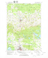
Editions of this 1956 Cadillac North Map
3 editions found
Other maps of this area

1954 · Traverse City
USGS Topo · 1:250,000

1956 · Kalkaska
USGS Topo · 1:62,500

1956 · Fife Lake
USGS Topo · 1:62,500

1956 · Kingsley
USGS Topo · 1:62,500

1956 · Mesick
USGS Topo · 1:62,500

1956 · Cadillac North
USGS Topo · 1:62,500

1956 · Lake City
USGS Topo · 1:62,500

1957 · Cadillac South
USGS Topo · 1:62,500

1957 · Luther
USGS Topo · 1:62,500

1957 · Marion
USGS Topo · 1:62,500