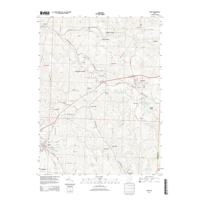
2013 Map of Cadiz
USGS Topo · Published 2013About this map
Cadiz serves as the focal point of this Harrison County landscape, where the local terrain is deeply marked by industrial and agricultural history. The township's character is defined by a network of rural settlements such as Jewett, Hopedale, and Unionvale, connected by historic thoroughfares like the Jewett Hopedale Rd. Significant land use is evident through numerous holding basins, including the Consolidation Coal Company Pond and Crawford Pond, reflecting the region's relationship with resource extraction.
Find a feature on this map
151 named features on this map. Tap any name to fly to it.
Don’t see what you’re looking for? This feature index may not catch every label — zoom into the map to look around manually.
Map Details
Editions of this 2013 Cadiz Map
This is the sole edition of this map. No revisions or reprints were ever made.
Other maps of this area
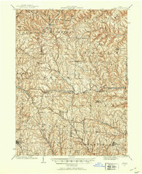
1901 · Cadiz
USGS Topo · 1:62,500
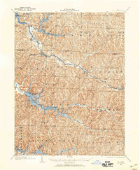
1902 · Scio
USGS Topo · 1:62,500
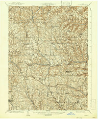
1903 · Cadiz
USGS Topo · 1:62,500
1903 · Flushing
USGS Topo · 1:62,500
1904 · Scio
USGS Topo · 1:62,500

1905 · St. Clairsville
USGS Topo · 1:62,500
1905 · Flushing
USGS Topo · 1:62,500

1951 · Canton
USGS Topo · 1:250,000

1953 · Canton
USGS Topo · 1:250,000
1957 · Canton
USGS Topo · 1:250,000