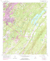
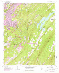
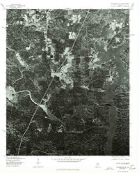
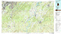
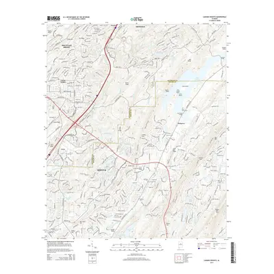
1959 Map of Cahaba Heights
USGS Topo · Published 1991About this map
Cahaba River and Little Cahaba River dominate this landscape, winding through a series of prominent ridges including Mountain Ridge, Pine Ridge, and Little Oak Mountain. The 1959 survey, with revisions through the late 1970s, captures a transition as residential development in Cahaba Heights and Mountain Brook begins to expand toward the river's edge. This growth is evidenced by the purple-tinted urban extensions near Cahaba Heights Sch and Wooten Chapel. Beyond the emerging suburbs, the terrain remains defined by heavy industry and conservation. Numerous strip mines and coal mines are scattered along Rocky Ridge and Flat Ridge, illustrating the region's extractive economy. To the south, the protected lands of Oak Mountain State Park provide a stark contrast to the mining activity, preserving the natural drainage of Oak Mountain Lake.
Find a feature on this map
68 named features on this map. Tap any name to fly to it.
Don’t see what you’re looking for? This feature index may not catch every label — zoom into the map to look around manually.
Map Details
Editions of this 1959 Cahaba Heights Map
5 editions found
Historical Maps of Birmingham Through Time
20 maps found
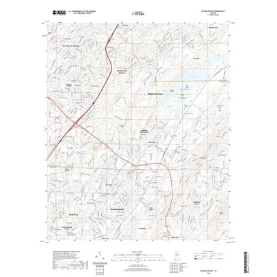
1959 Cahaba Heights
Shelby County, AL
1975 Cahaba Heights
Shelby County, AL
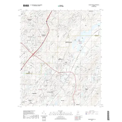
1975 Columbiana NE
Shelby County, AL
1975 Columbiana NW
Shelby County, AL
1975 Columbiana SE
Shelby County, AL
1975 Montevallo NE
Shelby County, AL
1975 Montevallo NW
Shelby County, AL
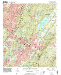
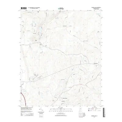
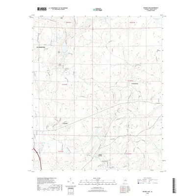
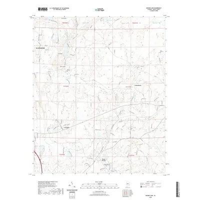
1980 Bounds Lake
Shelby County, AL
1984 Birmingham South
Shelby County, AL
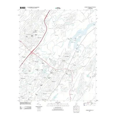
1998 Cahaba Heights
Shelby County, AL
2011 Bounds Lake
Shelby County, AL
2011 Cahaba Heights
Shelby County, AL
2014 Bounds Lake
Shelby County, AL
2014 Cahaba Heights
Shelby County, AL
2018 Bounds Lake
Shelby County, AL
2018 Cahaba Heights
Shelby County, AL
2020 Bounds Lake
Shelby County, AL
2020 Cahaba Heights
Shelby County, AL
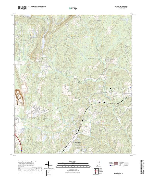
2024 Bounds Lake
Shelby County, AL
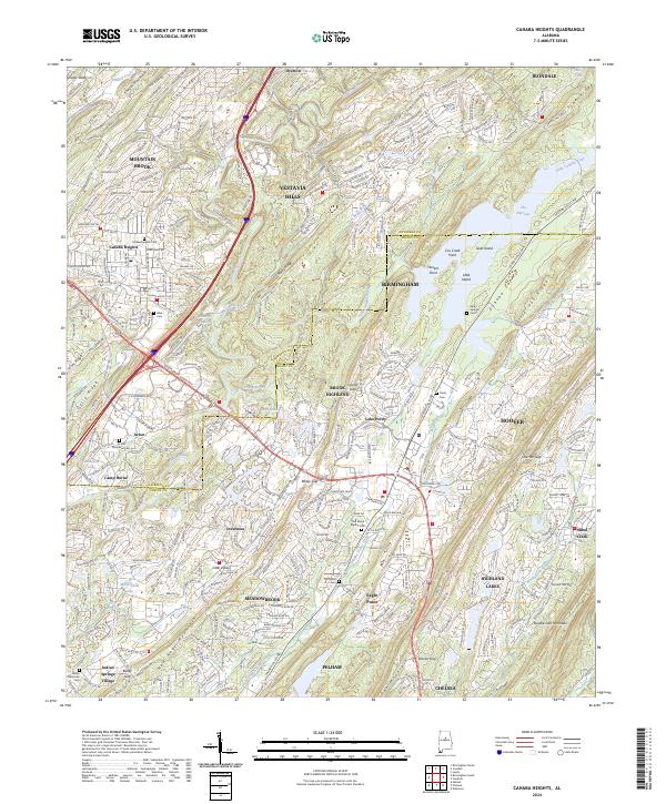
2024 Cahaba Heights
Shelby County, AL