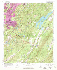
1959 Map of Cahaba Heights
USGS Topo · Published 1971About this map
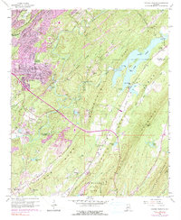
The Cahaba River and its tributary, the Little Cahaba River, anchor this landscape as it transitions from the industrial mining outskirts of Birmingham into the ridge-and-valley terrain of Shelby County. While Cahaba Heights and Overton show early suburban growth, the surrounding ridges remain defined by heavy resource extraction, evidenced by several unnamed Strip Mine operations scattered between Shades Ridge and Pine Ridge. The impoundment of Lake Purdy dominates the eastern quadrant, creating a complex shoreline that surrounds Goat Island and Little Island.
Find a feature on this map
63 named features on this map. Tap any name to fly to it.
Don’t see what you’re looking for? This feature index may not catch every label — zoom into the map to look around manually.
Map Details
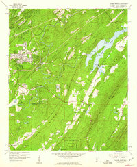
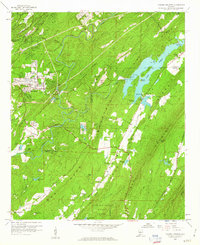
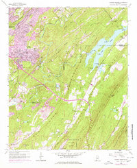
Editions of this 1959 Cahaba Heights Map
5 editions found
Other maps of this area

1889 · Birmingham
USGS Topo · 1:125,000

1890 · Bessemer
USGS Topo · 1:125,000

1892 · Birmingham
USGS Topo · 1:125,000

1892 · Bessemer
USGS Topo · 1:125,000

1895 · Birmingham
USGS Topo · 1:125,000

1904 · Birmingham Coal District
USGS Topo · 1:62,500

1905 · Bessemer Iron District
USGS Topo · 1:62,500

1905 · Leeds
USGS Topo · 1:62,500

1906 · Birmingham Special
USGS Topo · 1:62,500

1906 · Vandiver
USGS Topo · 1:62,500