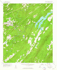
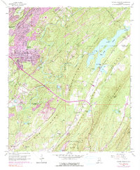
1959 Map of Cahaba Heights
USGS Topo · Published 1960About this map
The Cahaba River and its tributary, the Little Cahaba River, dominate this 1959 landscape, where industrial activity and growing residential pockets met the ridge-and-valley terrain of Shelby and Jefferson Counties. Large-scale infrastructure is evident at Lake Purdy, featuring The Narrows, Goat Island, and a Water Pumping Sta. The map documents a period of active land use, from numerous Strip Mines cutting into Shades Mountain Ridge to the protected land of Oak Mountain State Park in the south.
Find a feature on this map
62 named features on this map. Tap any name to fly to it.
Don’t see what you’re looking for? This feature index may not catch every label — zoom into the map to look around manually.
Map Details
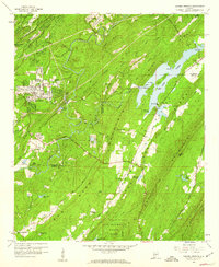
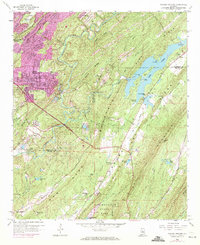
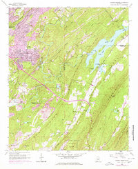
Editions of this 1959 Cahaba Heights Map
5 editions found
Other maps of this area

1889 · Birmingham
USGS Topo · 1:125,000

1890 · Bessemer
USGS Topo · 1:125,000

1892 · Birmingham
USGS Topo · 1:125,000

1892 · Bessemer
USGS Topo · 1:125,000

1895 · Birmingham
USGS Topo · 1:125,000

1904 · Birmingham Coal District
USGS Topo · 1:62,500

1905 · Bessemer Iron District
USGS Topo · 1:62,500

1905 · Leeds
USGS Topo · 1:62,500

1906 · Birmingham Special
USGS Topo · 1:62,500

1906 · Vandiver
USGS Topo · 1:62,500