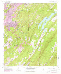
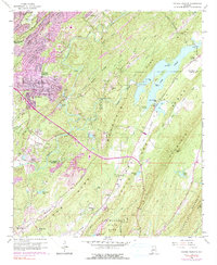
1959 Map of Cahaba Heights
USGS Topo · Published 1978About this map
Cahaba Valley provides a sharp contrast between the burgeoning residential developments of Cahaba Heights and the rugged, industrial corridors of the Cahaba River. By the late 1950s, the landscape reflected a complex history of resource extraction, with numerous Strip Mine operations scattered across Pine Ridge and near the banks of the Little Cahaba River. These mining activities sit alongside established community landmarks like the Cahaba Heights School and several local congregations, including Wooten Chapel and Liberty Church.
Find a feature on this map
55 named features on this map. Tap any name to fly to it.
Don’t see what you’re looking for? This feature index may not catch every label — zoom into the map to look around manually.
Map Details
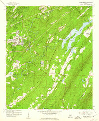
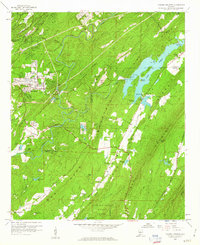
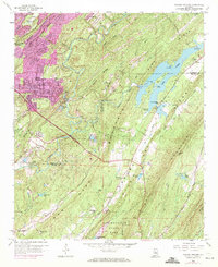
Editions of this 1959 Cahaba Heights Map
5 editions found
Other maps of this area

1889 · Birmingham
USGS Topo · 1:125,000

1890 · Bessemer
USGS Topo · 1:125,000

1892 · Birmingham
USGS Topo · 1:125,000

1892 · Bessemer
USGS Topo · 1:125,000

1895 · Birmingham
USGS Topo · 1:125,000

1904 · Birmingham Coal District
USGS Topo · 1:62,500

1905 · Bessemer Iron District
USGS Topo · 1:62,500

1905 · Leeds
USGS Topo · 1:62,500

1906 · Birmingham Special
USGS Topo · 1:62,500

1906 · Vandiver
USGS Topo · 1:62,500