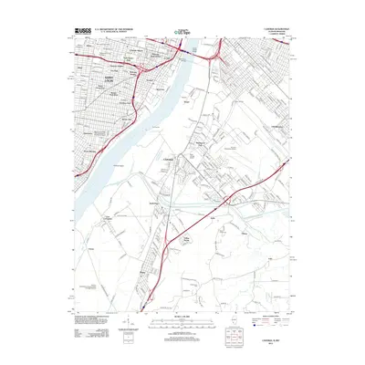
2012 Map of Cahokia
USGS Topo · Published 2012About this map
The Mississippi River serves as the dividing line between the dense urban neighborhoods of Saint Louis, Missouri, and the industrial and airport-heavy landscapes of Cahokia, Illinois. On the Missouri side, the street grid is tight and historic, encompassing legacy districts like Soulard, Lafayette Square, and Compton Heights. This area is anchored by academic and social institutions such as Saint Louis University and the Maryville College and Academy of the Sacred Heart.
Find a feature on this map
253 named features on this map. Tap any name to fly to it.
Don’t see what you’re looking for? This feature index may not catch every label — zoom into the map to look around manually.
Map Details
Editions of this 2012 Cahokia Map
This is the sole edition of this map. No revisions or reprints were ever made.
Other maps of this area

1888 · St. Louis
USGS Topo · 1:62,500

1910 · Waterloo
USGS Topo · 1:62,500

1912 · Kimmswick
USGS Topo · 1:62,500

1913 · Waterloo
USGS Topo · 1:62,500

1916 · Kimmswick
USGS Topo · 1:62,500

1931 · French Village
USGS Topo · 1:24,000

1933 · Granite City
USGS Topo · 1:24,000

1933 · Jefferson Barracks
USGS Topo · 1:24,000

1933 · Cahokia
USGS Topo · 1:24,000

1933 · Clayton
USGS Topo · 1:24,000