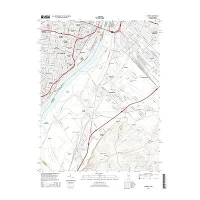
2015 Map of Cahokia
USGS Topo · Published 2015About this map
The Mississippi River creates a high-contrast boundary between the dense urban grid of St. Louis and the low-lying industrial and residential expanses of the American Bottoms in Illinois. On the Missouri side, historic neighborhoods like Soulard, Lafayette Square, and Dutchtown show the established residential character of the city, punctuated by the iconic Jefferson National Expansion Memorial. Connectivity across the water is anchored by the Macarthur Bridge, linking the Missouri metropolis to the sprawling rail and industrial landscapes of East St. Louis and Sauget.
Find a feature on this map
55 named features on this map. Tap any name to fly to it.
Don’t see what you’re looking for? This feature index may not catch every label — zoom into the map to look around manually.
Map Details
Editions of this 2015 Cahokia Map
This is the sole edition of this map. No revisions or reprints were ever made.
Other maps of this area

1888 · St. Louis
USGS Topo · 1:62,500

1910 · Waterloo
USGS Topo · 1:62,500

1912 · Kimmswick
USGS Topo · 1:62,500

1913 · Waterloo
USGS Topo · 1:62,500

1916 · Kimmswick
USGS Topo · 1:62,500

1931 · French Village
USGS Topo · 1:24,000

1933 · Granite City
USGS Topo · 1:24,000

1933 · Jefferson Barracks
USGS Topo · 1:24,000

1933 · Cahokia
USGS Topo · 1:24,000

1933 · Clayton
USGS Topo · 1:24,000