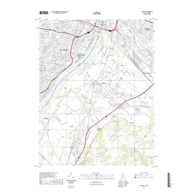
2021 Map of Cahokia
USGS Topo · Published 2021About this map
Gateway Arch National Park anchors the riverfront where St. Louis and East St. Louis face one another across the Mississippi River. This survey captures the complex transition from the urban density of the Missouri side to the industrial and floodplain landscapes of the American Bottoms in Illinois. Key transport infrastructure is prominent, including the Poplar Street Bridge and MacArthur Bridge, which facilitate the massive movement of goods and people through this corridor.
Find a feature on this map
165 named features on this map. Tap any name to fly to it.
Don’t see what you’re looking for? This feature index may not catch every label — zoom into the map to look around manually.
Map Details
Editions of this 2021 Cahokia Map
This is the sole edition of this map. No revisions or reprints were ever made.
Other maps of this area

1888 · St. Louis
USGS Topo · 1:62,500
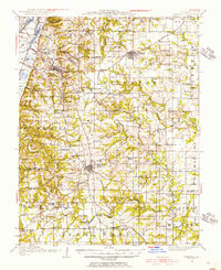
1910 · Waterloo
USGS Topo · 1:62,500
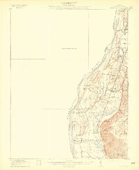
1912 · Kimmswick
USGS Topo · 1:62,500
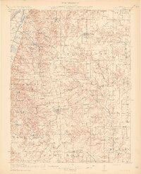
1913 · Waterloo
USGS Topo · 1:62,500
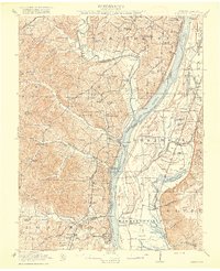
1916 · Kimmswick
USGS Topo · 1:62,500
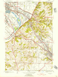
1931 · French Village
USGS Topo · 1:24,000
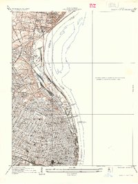
1933 · Granite City
USGS Topo · 1:24,000
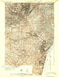
1933 · Jefferson Barracks
USGS Topo · 1:24,000
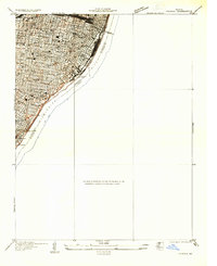
1933 · Cahokia
USGS Topo · 1:24,000
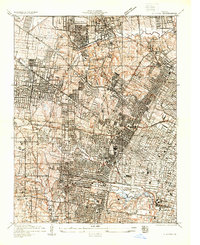
1933 · Clayton
USGS Topo · 1:24,000