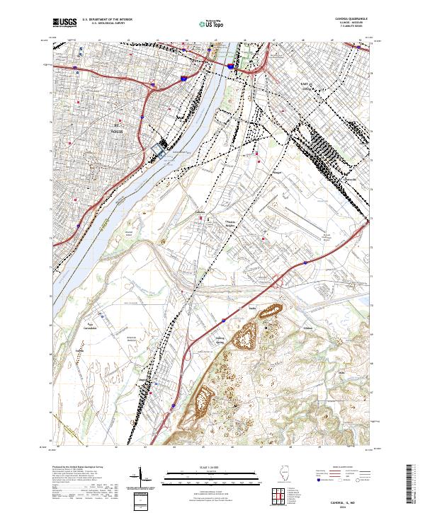
2024 Map of Cahokia
USGS Topo · Published 2024About this map
The Mississippi River creates a natural boundary between St. Louis, Missouri, and the industrial landscape of the American Bottoms in Illinois. This riverfront corridor features the iconic Gateway Arch National Park, while further downstream, the Sidney Street Ferry and the St Louis Air Force Station reflect the area's long-standing connection to transport and military aviation. The map details the intricate waterways that crisscross the floodplain, including Cahokia Chute, Prairie du Pont Creek, and the Harding Ditch. In the Illinois settlements of Cahokia, Dupo, and Sauget, the landscape is a mix of residential neighborhoods, industrial sites like Vulcan, and significant local landmarks such as St Louis Downtown Airport. Genealogists may find value in the presence of Holy Family Cem, Saint Joseph Cem, and Zion Cem, which serve as physical links to the historic communities established along the river's eastern banks.
Find a feature on this map
101 named features on this map. Tap any name to fly to it.
Don’t see what you’re looking for? This feature index may not catch every label — zoom into the map to look around manually.
Map Details
Editions of this 2024 Cahokia Map
This is the sole edition of this map. No revisions or reprints were ever made.
Other maps of this area

1888 · St. Louis
USGS Topo · 1:62,500

1910 · Waterloo
USGS Topo · 1:62,500

1912 · Kimmswick
USGS Topo · 1:62,500

1913 · Waterloo
USGS Topo · 1:62,500

1916 · Kimmswick
USGS Topo · 1:62,500

1931 · French Village
USGS Topo · 1:24,000

1933 · Granite City
USGS Topo · 1:24,000

1933 · Jefferson Barracks
USGS Topo · 1:24,000

1933 · Cahokia
USGS Topo · 1:24,000

1933 · Clayton
USGS Topo · 1:24,000