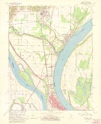
1967 Map of Cairo
USGS Topo · Published 1968About this map
Cairo sits at the dramatic confluence of the Ohio River and the Mississippi River, where the movement of water and rail historically defined the pulse of this Illinois river town. This 1967 survey documents a dense urban grid in the city center, featuring the Courthouse, Post Office, and a complex of local schools like Lincoln Sch and Garrison Sch. North of the city, the landscape transitions into a network of smaller settlements and industrial sites, including Urbandale, Future City, and the railyards at Cairo Junction.
Find a feature on this map
67 named features on this map. Tap any name to fly to it.
Don’t see what you’re looking for? This feature index may not catch every label — zoom into the map to look around manually.
Map Details
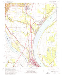
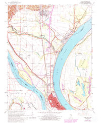
Editions of this 1967 Cairo Map
3 editions found
Other maps of this area

1931 · Cairo
USGS Topo · 1:62,500

1933 · Cairo
USGS Topo · 1:62,500

1934 · Thebes
USGS Topo · 1:62,500

1939 · Wickliffe
USGS Topo · 1:62,500

1939 · Charleston
USGS Topo · 1:62,500

1939 · Cairo
USGS Topo · 1:62,500

1939 · Thebes
USGS Topo · 1:62,500

1949 · Paducah
USGS Topo · 1:250,000

1950 · Paducah
USGS Topo · 1:250,000

1951 · Wickliffe
USGS Topo · 1:24,000