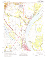
1967 Map of Cairo
USGS Topo · Published 1974About this map
The confluence of the Ohio River and the Mississippi River dominates this 1960s study, centering on the strategic river port of Cairo. The landscape is a complex network of flood control and transport, featuring an extensive Levee system protecting the low-lying peninsula. Major rail corridors including the Illinois Central, Gulf Mobile And Ohio, and Missouri Pacific converge here, illustrating the area's historical role as a critical multi-modal transit hub. To the north, the terrain transitions into the North Mounds and the community of Mounds, while the eastern side of the Ohio River reveals the Barlow Bottoms in Kentucky. Cultural landmarks of note include the Mound City National Cemetery, several local schools such as Sumner School, and the aviation facilities at Cairo Airport. The map also captures smaller, distinct settlements like Urbandale, Future City, and Klondike, providing a detailed look at the region's mid-century development.
Find a feature on this map
86 named features on this map. Tap any name to fly to it.
Don’t see what you’re looking for? This feature index may not catch every label — zoom into the map to look around manually.
Map Details
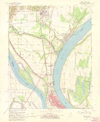
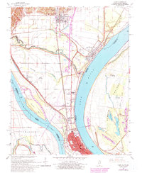
Editions of this 1967 Cairo Map
3 editions found
Other maps of this area

1931 · Cairo
USGS Topo · 1:62,500

1933 · Cairo
USGS Topo · 1:62,500

1934 · Thebes
USGS Topo · 1:62,500

1939 · Wickliffe
USGS Topo · 1:62,500

1939 · Charleston
USGS Topo · 1:62,500

1939 · Cairo
USGS Topo · 1:62,500

1939 · Thebes
USGS Topo · 1:62,500

1949 · Paducah
USGS Topo · 1:250,000

1950 · Paducah
USGS Topo · 1:250,000

1951 · Wickliffe
USGS Topo · 1:24,000