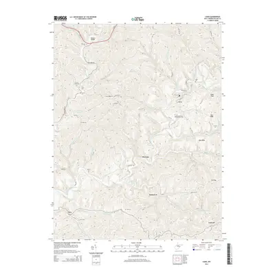
2014 Map of Cairo
USGS Topo · Published 2014About this map
The North Fork Hughes River meanders through this portion of West Virginia, framing the community of Cairo. The landscape is defined by its deep drainages and narrow ridges, such as Oil Ridge and Pew Hill, which have long shaped the settlement patterns of Ritchie County. Historically significant landmarks are scattered across the terrain, including the International Order of Odd Fellows Cem and the engineering of Tunnel Number 19. Smaller locales like Nutter Farm, Riverside, and Racy appear connected by a complex network of country roads and runs.
Find a feature on this map
80 named features on this map. Tap any name to fly to it.
Don’t see what you’re looking for? This feature index may not catch every label — zoom into the map to look around manually.
Map Details
Editions of this 2014 Cairo Map
This is the sole edition of this map. No revisions or reprints were ever made.
Other maps of this area

1904 · Marietta
USGS Topo · 1:62,500

1906 · Saint Marys
USGS Topo · 1:62,500

1906 · Elizabeth
USGS Topo · 1:62,500

1907 · Harrisville
USGS Topo · 1:62,500

1924 · St Marys
USGS Topo · 1:62,500

1924 · Harrisville
USGS Topo · 1:62,500

1924 · Marietta
USGS Topo · 1:62,500

1924 · Elizabeth
USGS Topo · 1:62,500

1926 · Elizabeth
USGS Topo · 1:62,500

1926 · Harrisville
USGS Topo · 1:62,500