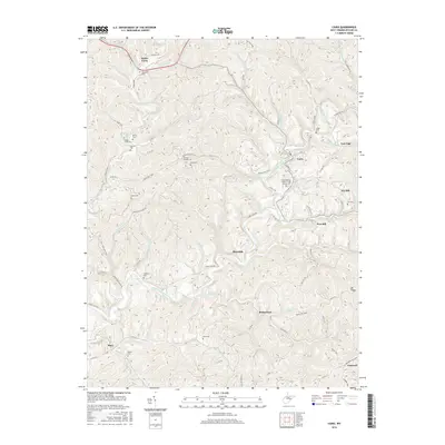
2016 Map of Cairo
USGS Topo · Published 2016About this map
The North Fork Hughes River and its numerous tributaries, such as Devilhole Cr and Goose Creek, carve deep valleys through the Ritchie County landscape. The N Bend Rail Trail serves as a primary corridor for travel across this terrain, following the winding path of the river and passing through Tunnel Number 19 west of Cairo. This trail occupies a significant historical transportation route, linking small communities like Nutter Farm and Rutherford.
Find a feature on this map
83 named features on this map. Tap any name to fly to it.
Don’t see what you’re looking for? This feature index may not catch every label — zoom into the map to look around manually.
Map Details
Editions of this 2016 Cairo Map
This is the sole edition of this map. No revisions or reprints were ever made.
Other maps of this area

1904 · Marietta
USGS Topo · 1:62,500

1906 · Saint Marys
USGS Topo · 1:62,500

1906 · Elizabeth
USGS Topo · 1:62,500

1907 · Harrisville
USGS Topo · 1:62,500

1924 · St Marys
USGS Topo · 1:62,500

1924 · Harrisville
USGS Topo · 1:62,500

1924 · Marietta
USGS Topo · 1:62,500

1924 · Elizabeth
USGS Topo · 1:62,500

1926 · Elizabeth
USGS Topo · 1:62,500

1926 · Harrisville
USGS Topo · 1:62,500