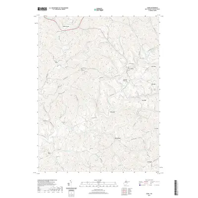
2019 Map of Cairo
USGS Topo · Published 2019About this map
Cairo sits at the heart of this Ritchie County landscape, where the North Fork Hughes River cuts a winding path through the dissected plateau. The area’s industrial and social history is etched into the terrain, most notably through the N Bend Rail-Trail, which follows a legacy railroad corridor. This trail passes through Tunnel Number 19, a significant engineering landmark located near the Lamb Cem.
Find a feature on this map
82 named features on this map. Tap any name to fly to it.
Don’t see what you’re looking for? This feature index may not catch every label — zoom into the map to look around manually.
Map Details
Editions of this 2019 Cairo Map
This is the sole edition of this map. No revisions or reprints were ever made.
Other maps of this area

1904 · Marietta
USGS Topo · 1:62,500

1906 · Saint Marys
USGS Topo · 1:62,500

1906 · Elizabeth
USGS Topo · 1:62,500

1907 · Harrisville
USGS Topo · 1:62,500

1924 · St Marys
USGS Topo · 1:62,500

1924 · Harrisville
USGS Topo · 1:62,500

1924 · Marietta
USGS Topo · 1:62,500

1924 · Elizabeth
USGS Topo · 1:62,500

1926 · Elizabeth
USGS Topo · 1:62,500

1926 · Harrisville
USGS Topo · 1:62,500