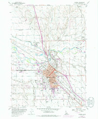
1958 Map of Caldwell
USGS Topo · Published 1986About this map
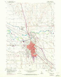
The Boise River valley south of Middleton serves as the focal point for this mid-century look at Canyon County. The urban center of Caldwell is depicted in detail, showing its expansion across Indian Creek and the concentration of civic life around the Courthouse, City Hall, and the campus of the College of Idaho. A complex network of irrigation infrastructure, including the Farmers Cooperative Canal, Phyllis Canal, and numerous drains like the Dixie Drain, illustrates the intensive agricultural transformation of the surrounding plains.
Find a feature on this map
86 named features on this map. Tap any name to fly to it.
Don’t see what you’re looking for? This feature index may not catch every label — zoom into the map to look around manually.
Map Details
Editions of this 1958 Caldwell Map
3 editions found
Other maps of this area

1898 · Nampa
USGS Topo · 1:125,000

1955 · Boise
USGS Topo · 1:250,000

1957 · Notus
USGS Topo · 1:24,000

1958 · Boise
USGS Topo · 1:250,000
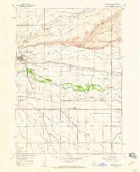
1958 · Middleton
USGS Topo · 1:24,000
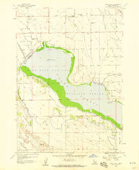
1958 · Lake Lowell
USGS Topo · 1:24,000
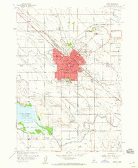
1958 · Nampa
USGS Topo · 1:24,000
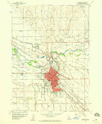
1958 · Caldwell
USGS Topo · 1:24,000
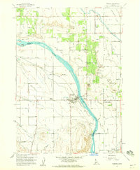
1958 · Marsing
USGS Topo · 1:24,000

1962 · Boise
USGS Topo · 1:250,000