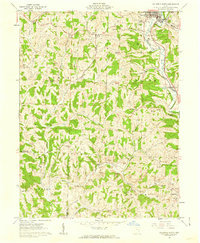
1961 Map of Caldwell South
USGS Topo · Published 1962About this map
Caldwell anchors the northeast corner of this 1961 survey, where the Pennsylvania railroad tracks parallel the West Fork Duck Creek and Duck Creek. The landscape across the Sharon, Olive, Center, and Jackson townships is defined by a dense network of narrow ridges and winding stream valleys. A significant number of family and community burial grounds, such as Sailor Cem, Tillsonville Cem, and Jordan Cem, are scattered across the uplands, often near small rural congregations like Manchester Ch and Forest Grove Ch. The influence of the extractive industry is evident in the numerous Strip Mine and Quarry labels marking the hillsides, particularly around the headwaters of Sharon Fork and Taylor Fork. These sites represent the mid-century intersection of rural agriculture and small-scale surface mining in Noble County.
Find a feature on this map
54 named features on this map. Tap any name to fly to it.
Don’t see what you’re looking for? This feature index may not catch every label — zoom into the map to look around manually.
Map Details
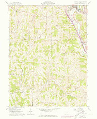
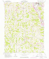
Editions of this 1961 Caldwell South Map
3 editions found
Other maps of this area

1903 · Macksburg
USGS Topo · 1:62,500

1905 · Macksburg
USGS Topo · 1:62,500

1909 · Caldwell
USGS Topo · 1:62,500

1909 · Summerfield
USGS Topo · 1:62,500

1911 · Cumberland
USGS Topo · 1:62,500

1911 · Summerfield
USGS Topo · 1:62,500

1912 · Caldwell
USGS Topo · 1:62,500

1949 · Clarksburg
USGS Topo · 1:250,000

1956 · Clarksburg
USGS Topo · 1:250,000

1961 · Clarksburg
USGS Topo · 1:250,000