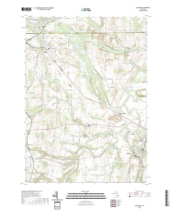
2023 Map of Caledonia
USGS Topo · Published 2023About this map
Caledonia and the surrounding Genesee Valley landscape reveal a pattern of settlement and industry shaped by the waterways of Livingston and Monroe Counties. The Genesee River flows northward through the eastern portion of the sheet, joined by tributaries like Christie Creek and Conesus Creek. The village of Avon serves as a local hub near the river, while smaller hamlets such as Toggletown, Fowlerville, and Ashantee are scattered along the historical road network, including the prominent Telephone Rd corridor.
Find a feature on this map
71 named features on this map. Tap any name to fly to it.
Don’t see what you’re looking for? This feature index may not catch every label — zoom into the map to look around manually.
Map Details
Editions of this 2023 Caledonia Map
This is the sole edition of this map. No revisions or reprints were ever made.
Other maps of this area

1895 · Rochester
USGS Topo · 1:62,500

1898 · Rochester
USGS Topo · 1:62,500

1899 · Brockport
USGS Topo · 1:62,500

1901 · Honeoye
USGS Topo · 1:62,500

1904 · Caledonia
USGS Topo · 1:62,500

1904 · Honeoye
USGS Topo · 1:62,500

1912 · Rochester
USGS Topo · 1:62,500

1920 · Rochester
USGS Topo · 1:62,500

1934 · Rush
USGS Topo · 1:24,000

1934 · Clifton
USGS Topo · 1:24,000