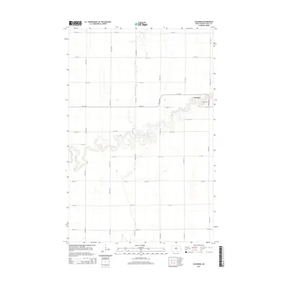
2014 Map of Caledonia
USGS Topo · Published 2014About this map
Caledonia sits at a prominent bend in the Goose River, where the watercourse snakes through the flat plains of Traill County in a complex series of tight meanders. This 2014 survey illustrates the village's grid-like layout, anchored by Center St and defined by historic thoroughfares like Bridge St E and Mill St E. The surrounding landscape is dominated by a precise section-line road network, including 172nd Ave NE and 6th St NE, which facilitates the vast agricultural operations characteristic of the Red River Valley. The contrast between the rigid geometric township lines and the organic, winding path of the river reveals how the natural hydrology continues to shape development and land use in this pocket of North Dakota.
Find a feature on this map
28 named features on this map. Tap any name to fly to it.
Don’t see what you’re looking for? This feature index may not catch every label — zoom into the map to look around manually.
Map Details
Editions of this 2014 Caledonia Map
This is the sole edition of this map. No revisions or reprints were ever made.
Other maps of this area

1918 · Kelso
USGS Topo · 1:62,500

1918 · Hendrum
USGS Topo · 1:62,500

1919 · Eldred
USGS Topo · 1:62,500

1943 · Kelso
USGS Topo · 1:62,500

1952 · Grand Forks
USGS Topo · 1:250,000

1956 · Grand Forks
USGS Topo · 1:250,000

1963 · Shelly
USGS Topo · 1:24,000

1963 · Halstad
USGS Topo · 1:24,000

1963 · Hillsboro
USGS Topo · 1:24,000

1963 · Kelso
USGS Topo · 1:24,000